


Brandy Station Battlefield, location of the biggest cavalry battle of the Civil War and Virginia’s newest state park, now has a foundation upon which to build — a key achievement announced by the American Battlefield Trust.
About 50 people turned out on June 24 for a presentation on preliminary findings in a Cultural Landscape Resources (CLR) report on the battlefield.
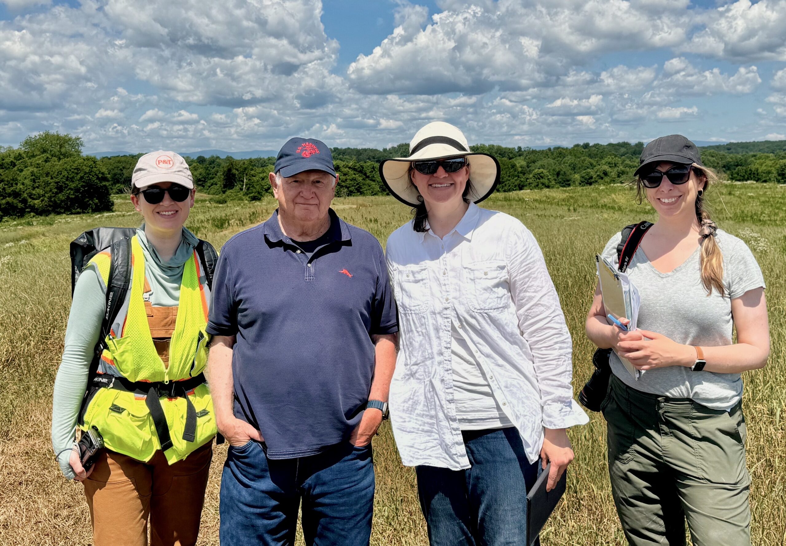
Conducted in the past year by MIG, a landscape architectural firm based in California and Oregon, the report thus far is 450 pages.
Laurie Matthews, MIG director of preservation planning and design, told the gathering at Culpeper’s Tourism and Economic Development office, the work had included identifying and dating road traces, artillery and gun pits, family cemeteries and archeological sites, all of which deserved further, more in-depth study.
Highlights
Matthews spoke in particular of the Wiltshire Complex — the overseer’s farmhouse and outbuildings on the Elkwood Plantation, where much of the fighting took place. All of the structures, including separate kitchen quarters, an ice house, dry goods storage and more, were in significant disrepair and in need of preservation work, Matthews said. An intensive examination of craftsmanship and building materials in these structures had confirmed when they were built and opened new avenues of study to understand the occupants’ way of life, she said.
Elsewhere, a 42-foot deep well on nearby Fleetwood Hill was found to include an unusual chamber with a vaulted ceiling off the main shaft, Matthews said — its dry-laid stone construction was rare, with only one other example of such a chamber known to exist in Virginia.
Stone walls marking the edges of fields and property boundaries on the battlefield were believed to have been built by enslaved people. Judging from how they were built, some of the walls might date from the 18th century, Matthews said.
Gravesites and archeological sites, witness trees and other features were discovered, and would be areas for future, deeper investigation.
“Being the biggest cavalry battle on American soil, the area of potential study is immense, it’s overwhelming, there’s a lot here,” Matthews said, noting that her company’s focus was confined to the land currently in the process of being transferred to state ownership for the park.
For the study, MIG’s landscape architects, cultural historians and archaeologists combed through records meticulously documented and maintained by Brandy Station Battle historian and preservationist Clark B. Hall, before doing their own field work and research.
“The CLR is THE document of record for making decisions about the future of historic properties,” said Glenn Stach, landscape architect for the American Battlefield Trust. “When the state makes its master plan for the park, it would be very challenging to do that without this analysis, which determines what is there, what can be protected, what needs rehabilitation. It gives guidance for the park’s features and where it’s safe to put user facilities, such as parking areas.”
Once completed, reviewed and finalized by state agencies, the report will be published, likely this fall, Stach said. Additional phases of the study would follow. Meanwhile work on a master plan for park facilities and operations would begin, spearheaded by Drew Gruber, Culpeper Battlefields State Park’s new site manager, and others to be hired in the coming months.
“So far any talk about a visitor’s center or any other infrastructure is premature, all that will be part of the master plan, which hasn’t yet been developed,” Stach said.

Laurie Matthews, director of preservation planning & design for MIG (landscape architects) discusses some findings her company made over the past year during their work on a Cultural Landscape Resources report of the Brandy Station Battlefield in Culpeper. (Photo/Emily Oaks)

Battle plans
At the meeting, MIG Archaeologist Terrence Christian said he and his colleagues had relied on a military terrain analytical process known by the acronym KOCOA. First used in preservation work at Gettysburg in the 1990s, it stood for Key terrain, Observation and fields of fire, Cover and concealment, Obstacles, and Avenues of approach.
“If we know where battlefield contacts took place, we can catalogue those on a map, use those [layers of analysis] to focus resources, focus budget, focus partnerships to those areas that are either most at threat, or areas that are most productive, as far as research happening,” he said.
In addition, Christian said “ground truthing” was implemented for the study, including satellite imagery, surveying, ground penetrating radar and other methods.
Sacred ground
As attendees asked about terrain and features that had affected the battle’s outcome, Clark Hall, the Brandy Station historian, noted where the heaviest casualties took place — three locations on the battlefield where both Union and Confederate soldiers went down, as he said, “in droves.”
“At the end of the day, you’ve got dead Yankees, dead Rebs, all over the battlefield — and horses dead everywhere,” he said.

About 50 people attended a meeting at Culpeper’s Economic Development office on June 24 where preliminary findings were revealed of a report commissioned by the American Battlefield Trust about Culpeper’s Brandy Station Battlefield. (Photo/Emily Oaks)
In a letter to his wife after the battle, Confederate Maj. Gen. J.E.B. Stuart wrote that a staff officer asked what should be done with all the bodies.
“His answer was: ‘Bury them all where they fell, friend and foe alike,’” Hall said.
Some of them were later brought to Culpeper National Cemetery where three federal officers are known to be buried, according to Hall. One Confederate officer killed during the battle was buried at Culpeper’s Fairview Cemetery (and later removed), he said, and a few others were buried in anonymous graves in both cemeteries.
“Are many of those troopers, Union and Confederate, still buried out there on the battlefield, where they fell? You can bet they are,” Hall said.
“When you walk onto a battlefield, you’re walking onto a cemetery. Sacred ground. We’ve preserved it. We’re going to protect it. We’ve got a site manager now that has the responsibility to do that,” Hall said.
“Thanks to the American Battlefield Trust and generous donors who bought [the land], and they are turning it over to the state. It now belongs to the American people, and we thank God for that,” he said.